Geography
Topography
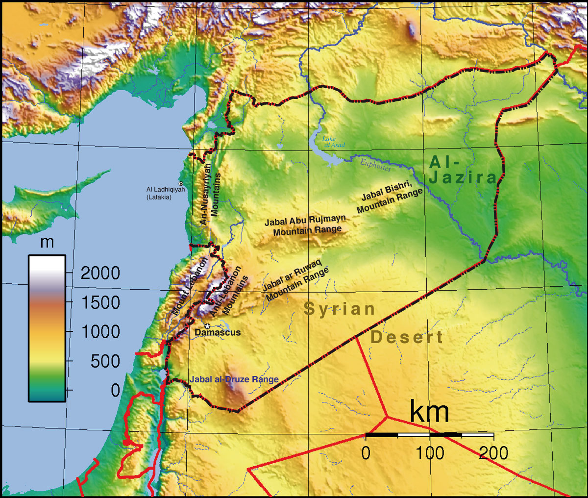
Features
Syrian Desert
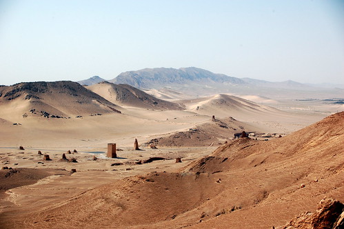
A large desert that resides in a total of four countries (Syria, Jordan, Saudi Arabia, and Iraq), this desert covers 200,000 square miles of land. Over the course of a year, there is less and 5 inches of rainfall. Before modernization, it served as a natural barrier between Mesopotamia and the Levant. Major routes, nomadic tribes, oil pipelines, and horse breeders can be found nowadays.
Lake Assad
- 
This is the largest lake in Syria. It is a reservoir created by the Tabqa Dam in 1974. It gains the title of being the largest with measurements of 2.8 cubic miles of depth and 240 square miles of surface. This lake is used to service both sides of the Euphrates River, as well as providing drinking water and a fishing industry.
Mount Hermon
http://www.glaphyridae.com/Biogeografia/SAR.html
This mountain lies in the Lebanon-Syria border. It towers over Syria at 9,232 feet, and is not only the highest point in Syria, but also along the coast of the Mediterranean Sea. Snow can be found year-round on the mountain, and it has been a landmark for ages. It holds the sources of the Jordan River, and Greek temples circa 200 CE can be found there as well.
posted by Josh Owl @ 12:02 PM
0 Comments
![]()

0 Comments:
Post a Comment
Subscribe to Post Comments [Atom]
<< Home